IRPS (Image Receiving & Processing System)
(In stock)
| Product Name | IRPS (Image Receiving & Processing System) |
| Model Number | - |
| Brand | Satrec Initiative Co., Ltd |
| Category | Commercial Ground System — Image acquisition and processing platform |
| Country of Origin | South Korea |
| Material | Software and hardware platform tailored for high-speed image data handling; specific technologies and hardware details are not disclosed publicly. |
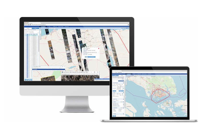
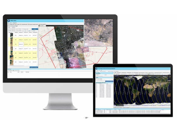
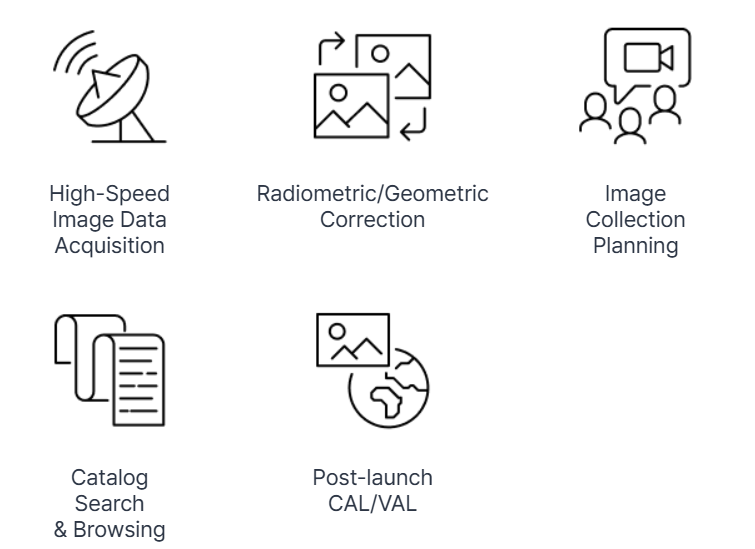
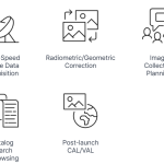
| Applications | Designed to manage end-to-end Earth observation data workflows—covering high-speed image data acquisition, radiometric/geometric correction, image collection planning, catalog search and browsing, and post-launch calibration/validation (CAL/VAL) tasks. |
The Image Receiving & Processing System (IRPS) is a sophisticated ground platform developed by Satrec Initiative to optimize Earth observation data workflows. It enables:
High-Speed Image Data Acquisition: Efficient ingestion of large-volume satellite imagery.
Radiometric & Geometric Correction: Ensures imaging data is accurately calibrated and geospatially aligned.
Image Collection Planning: Facilitates strategic mission scheduling and tasking.
Catalog Search & Browsing: Allows operators to navigate and manage imagery archives.
Post-launch CAL/VAL: Supports calibration and validation of imaging data after launch
Satrec Initiaitve.
This end-to-end system delivers reliability and operational efficiency, building on Satrec’s proven experience with KOMPSAT and Geo-KOMPSAT imagery systems.
Looks like there are no reviews yet.