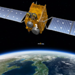
Korea Positioning System (KPS)
(In stock)
| Product Name | Korea Positioning System (KPS) |
| Model Number | Regional GNSS — KPS regional constellation |
| Brand | Korea Aerospace Research Institute (KARI), South Korea |
| Category | Regional Global Navigation Satellite System (GNSS) |
| Country of Origin | South Korea |
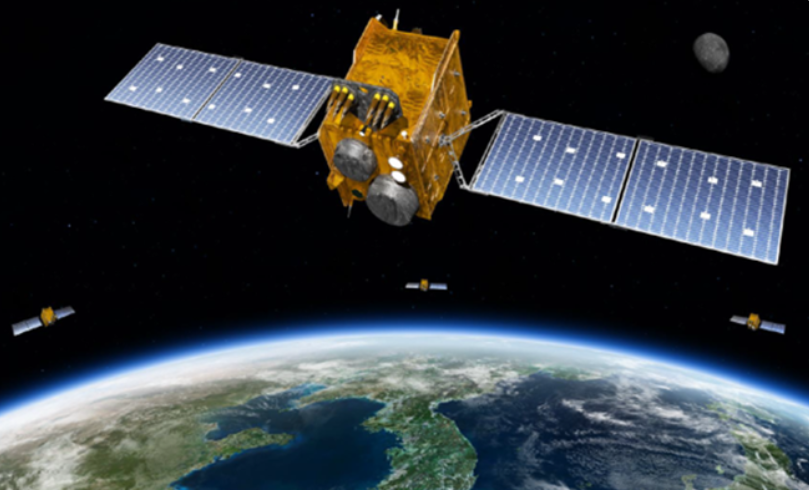
| Material | Consists of a space segment (navigational satellites—inclined and geostationary), ground control centers, reference stations, and GNSS receivers—all built with space-grade satellite components and highly reliable infrastructure. |
| Applications | Provides ultra-precise Position, Navigation, and Timing (PNT) services across Asia–Oceania. Supports secure navigation solutions for applications such as autonomous driving, aviation, drones, maritime operations, and national defense. |
Satellite Navigation
Satellite Navigation Systems: Core Infrastructure for the Fourth Industrial Revolution
Satellite navigation systems provide positioning, navigation, and timing (PNT) data and are widely used for car and ship navigation, emergency rescue, and disaster prediction. Korea currently relies on the U.S. GPS system, which has an inherent positioning error of about 10 meters, making it unsuitable for high-precision applications, such as aviation and autonomous driving. Moreover, there is a risk of service interruption due to signal jamming or geopolitical tensions. To address this, KARI is leading the development of Korea’s own satellite navigation system—KPS—to deliver high-precision, high-reliability data services, which are expected to become key infrastructure in the Fourth Industrial Revolution. As a core infrastructure for the Fourth Industrial Revolution, KPS aims to match the centimeter-level accuracy already provided by systems in the United States, Russia, Europe, China, Japan, and India by advancing R&D efforts to establish a sovereign system.
Looks like there are no reviews yet.